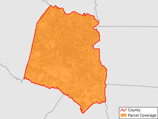
Union County
Parcel Data
Price: $250.00
Last Updated:
2025-Q2
Parcels in County:
18,819
Parcel data available to download as a GDB, GeoPackage, Shapefile, Excel, CSV, or Google Earth KML file.
All purchased data comes with six months of access, including any updates, at no additional cost.
Key attribute coverage for Union County
The percentage of Union County parcels containing the following key attributes:
Owner: 99.7%
Parcel Number: 100%
Acreage (Calculated): 100%
Site Address: 86.7%
Mailing Address: 100%
All available attributes in Union County
Parcel Number
Site Address
Owner
Land Use Code
Land Use Class
Acreage (deeded)
Acreage (calculated)
Perimeter
Municipality
School District
Zip Code
Flood Zone
Flood Zone Subtype
Census Tract
Census Block Group
Census Block
Mail Name
Mail Address1
Mail Address3
Legal Desc1
Legal Desc2
Addr Sec Unit Num
Place Gnis Code
Land Cover
Elevation
Owner Occupied
Robust Id
Usps Residential
Crop Cover
Acreage Adjacent With Sameowner
Flood Zones
Nearest Transmission Line Dist Ft
Nearest Substation Dist Ft
Derived Geom Properties
Municipalities Respresented in Union County
Carlisle CCD: 1,788
Cross Keys CCD: 1,183
Jonesville CCD: 2,484
Lockhart CCD: 1,915
Union CCD: 9,984
West Springs CCD: 1,414
Save money when you buy data in bulk
We offer discounted pricing on county and state downloads.